fine books - fair prices
| Search Antiqbook |
Ask a question or
Order this book
Browse our books
Search our books
Book dealer info

Author: WIGAL, DONALD
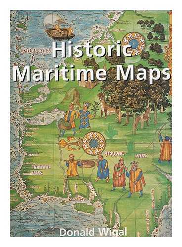
Title: Historic maritime maps
Description: London : Sirrocco 2007. First Edition. Fine cloth copy in an equally fine dw. Particularly and surprisingly well-preserved; tight. bright. clean and especially sharp-cornered.; 255 pages; Physical desc. : 255 p. : col. ill. col. maps ; 33 cm. Includes bibliographical references (p. 249-250). Subject: Early maps --Cartography --History --Nautical charts --Geography. Medieval --Discoveries in geography --Maps --History. Summary: This book presents a selection of ocean-going charts dating from the 13th century to the 17th century. While they may be rudimentary. they bear excellent witness to the achievements of early European navigators. by Donald Wigal.Weight in Kg appr.:
Keywords:
Price: EUR 19.95 = appr. US$ 21.68 Seller: MW Books
- Book number: 154971
- Book number: 154971