
fine books - fair prices
| Search Antiqbook |
Ask a question or
Order this book
Browse our books
Search our books
Book dealer info
Author: WHITFIELD, PETER (1947-)
Title: The charting of the oceans : ten centuries of maritime maps
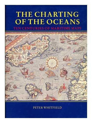
Description: Rohnert Park. CA : Pomegranate Artbooks 1996. First Edition. Fine cloth copy in an equally fine dw. Particularly and uncommonly well-preserved; tight. bright. clean and especially sharp-cornered. Literally as new.; 136 pages; Description: 136 p. : ill. (some col.). maps (some col.) ; 30 cm. Abundantly and impressively illustrated in full-colour. Subjects: Nautical charts --History. Summary: This book from the Peter Whitfield cartographic series traces the history of humankind's relation to the sea as revealed in ten centuries of maritime maps. Presenting sixty maps reproduced in color over double-page spreads. and commentary describing their special features and their significance in the history of navigation. the book explores ancient navigation; the Middle Ages and the Age of Discovery; the printed sea chart. 1600-1800; and the modern sea chart.ISBN: 0764900099. Weight in Kg appr.:
Keywords: 0764900099
Title: The charting of the oceans : ten centuries of maritime maps
Description: Rohnert Park. CA : Pomegranate Artbooks 1996. First Edition. Fine cloth copy in an equally fine dw. Particularly and uncommonly well-preserved; tight. bright. clean and especially sharp-cornered. Literally as new.; 136 pages; Description: 136 p. : ill. (some col.). maps (some col.) ; 30 cm. Abundantly and impressively illustrated in full-colour. Subjects: Nautical charts --History. Summary: This book from the Peter Whitfield cartographic series traces the history of humankind's relation to the sea as revealed in ten centuries of maritime maps. Presenting sixty maps reproduced in color over double-page spreads. and commentary describing their special features and their significance in the history of navigation. the book explores ancient navigation; the Middle Ages and the Age of Discovery; the printed sea chart. 1600-1800; and the modern sea chart.ISBN: 0764900099. Weight in Kg appr.:
Keywords: 0764900099
Price: EUR 18.95 = appr. US$ 20.60 Seller: MW Books
- Book number: 42350
- Book number: 42350